Google Ice View (Rideau Canal Skateway)
Wednesday, 11th February 2015 by Ian Brown
Each winter, 7.8km (4.8miles) of the Rideau Canal in Ottawa freezes into what is dubbed the World's Largest Skating Rink - the Rideau Canal Skateway. Located in the capital of Canada, anyone can lace up a pair of skates and glide along this spectacular World Heritage Site, which is maintained during the winter by the National Capital Commission. Each year more than a million skaters visit the Skateway, with peak season during February's Winterlude festival.
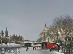
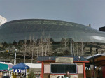
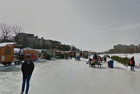
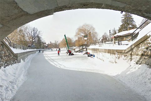
We begin our tour at the northern end of the canal, in the shadow of a number of icons of the city - the brutalist architecture of the National Arts Centre on the left, Parliament Hill, the Government Conference Centre (former train station) and the Chateau Laurier hotel beyond the bridge, and the new sweeping glass facade of the Convention Centre on the right.
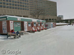
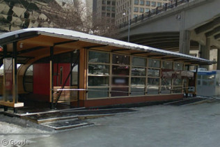
Here we can also see the some of the many facilities which are placed along the route each season, which include skate and sleigh rental facilities1 and change huts where skaters can warm up or change from winter boots into their skates.
For many years following the Skateway's opening in 1971, it was called the World's Longest Skating Rink. That title was lost to a narrow path cleared on a river in Winnipeg in 20082, at which point the title was changed to World's Largest Skating Rink.
As we head south we reach one of several rest areas where people can get a hot chocolate and sit by a fire to get warmed up. Shelter from the wind is provided by local residents' discarded Christmas trees.
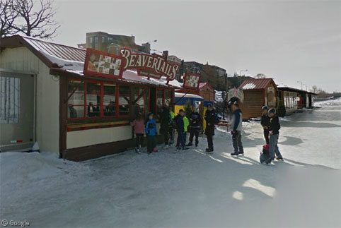
The longest queues are usually found at the Beaver Tails stands - a Beaver Tail being a kind of fried-pastry, usually coated in sugar, that vaguely resembles the animal part it's named after (basically, imagine a large thin flat donut). Skating takes lots of energy so refuelling with a sugary snack is a Skateway tradition for many people.
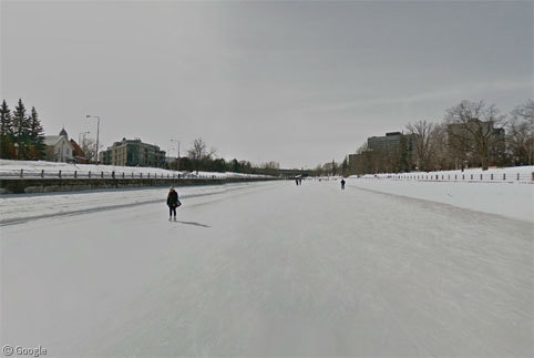
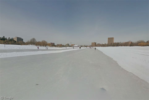
While the skating season is reliant on the vagaries of the weather, the ice is usually open from sometime in January to mid-March, though it is closed during periods of poor ice conditions, or when a thaw might threaten the minimum 30cm (12") thickness of ice that safety dictates. While there were only a few skaters out during Google's weekday morning visit last winter (covered in this blog post), during the Winterlude Festival, tens of thousands of skaters take the ice at the same time, meaning the ice has to be thick enough to support all those people.
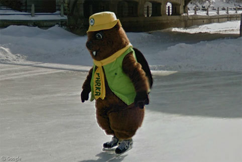
For part of the distance, the Google skater was accompanied by Parka (yes, a skating beaver) - the mascot of Parks Canada, who control the locks along the entire distance of the Rideau Canal during the summer boating season. We looked at the entire canal in a full post a few years ago.
For a detour off the main canal, passing under a low bridge brings you to smaller rink of Patterson Creek.
After skating for 5.5km we reach the point where the canal opens up into Dows Lake, where a wide swath of the lake's surface is cleared for skating across to a pavilion which includes restaurants for those who want more than a Beaver Tail for dinner.
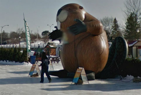
At the rest area on the edge of the lake we find another beaver, this time a giant inflatable one (are you sensing a theme here yet?)
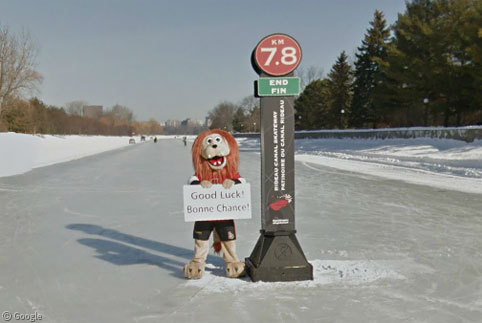
And after skating almost all the way to Harwells Lockstation, we reach the 7.8km marker and yet another ... wait - that's no beaver. That's Spartacat, mascot for the city's NHL team, the Ottawa Senators.
You can learn more about the Rideau Canal Skateway at the NCC's official site.
For previous special sightseeing tours on Street View, try our posts about Snow View, Boat View, Underwater View and Tower View!
-
sleighs are available for skaters to push small children, elderly people, or non-skaters along while cozily wrapped up in blankets! ↩︎
-
although this winter a man in Finland claims to have created a 25km long skating path on a lake, though it's only the width of a small snowplow blade. ↩︎

Not longest skating anymore: the skating trail on the lake in Invermere (View Placemark (50.493583,-116.023517)), also in Canada, is 31 km long! Though, no Street View there yet, of course…
View a map
And that’s not to mention the Dutch 11-towns race, when and if it gets cold enough – nigh on 200km. See http://en.wikipedia.org/wiki/Elfstedentocht