Google Sea View
Thursday, 23rd February 2012 by James Turnbull
Not content with covering almost every road in the world, Google have partnered with the University of Queensland to produce underwater Street View, and have announced plans to cover Australia's Great Barrier Reef in September of this year.
The images will come from a specially-developed SVII camera, that takes 360-degree images every 4–6 seconds while dragging a diver along at 4km/h.
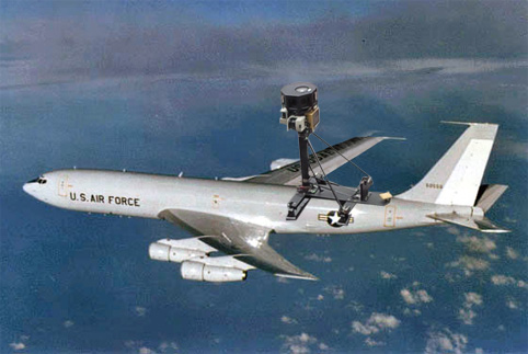
 The SVI camera used for testing
To give us an idea of what we might see in the 50,000 panoramas that are expected from the expedition, a small sampler from Heron island has been uploaded to the Catlin Seaview Survey site, which already shows us some of the amazing beauty of the reef.

When completed, the shallow reef survey will have 360-degree imagery from 20 sites across the 2300km-long Great Barrier Reef. The project also includes a deep-water survey using camera-equipped robots, and a mega-fauna survey tracking migratory sharks with GPS.

Also featured in the sample imagery is HMAS Protector, a flat-iron gunboat that served in both World War I and II, and was sunk here as a breakwater in 1943.


There are some really odd marks on the Gulf of Alaska! Find Yakutat and go west until you’re south of Cordova. Look around and it is as if a huge craft set down leaving a triangular ‘footprint.’ And you can see a sunken ship if you go due south of King Salmon ,Alaska. (Cross the mountains and ‘over the ledge’.) You’ll see it. Sitting on the bottom with its mast fallen forward.
In the dive business we SO look forward to this. We’ve uploaded tons of geo-tagged videos to youtube, but this sort of usability is second to none! Go google!.
Can’t wait for this 😀