Search Results for 'bridge'
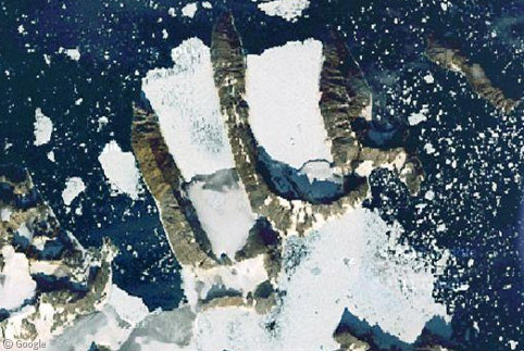
Uunartoq Qeqertaq (Island Week 6)
We often hear that global warming and rising sea levels will lead to the disappearance of low-lying islands such as the Maldives. However, climate change is also having the opposite effect - revealing islands that were…
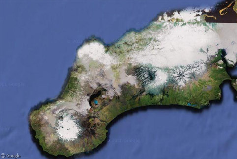
Alaska’s Aleutian Islands (Volcano Week 6)
The Aleutian Islands are the northern boundary of the Pacific Ocean's 'ring of fire'. Starting just off the Alaska Peninsula, an arc of more than 300 volcanic islands stretches for almost 2,000km across the Pacific. While…
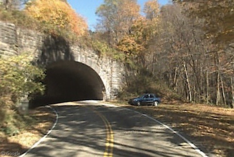
Pigtail Auto Loops
Routes can curve so completely that sometimes they loop all the way around and cross over themselves at a different elevation. Generally this happens in mountainous areas or in tightly-confined urban areas where there isn't enough…
Guest post: Tom Howder of Twelve Mile Circle
We're taking a bit of a summer breather here at Google Sightseeing, so to fill the gap in our schedule, we asked Tom Howder of the fascinating Twelve Mile Circle blog to write up a story…
Largest Ever Street View Update, June 29th 2011
In the past few hours, Google have announced their largest ever Street View update, incorporating new imagery for thirteen of the twenty six countries with existing coverage. The countries receiving updated imagery are Denmark, Ireland, Italy,…
North Korea Uncovered
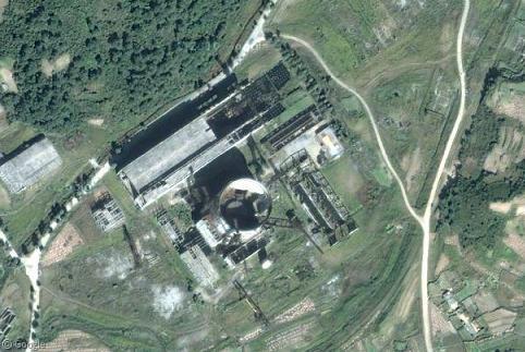
North Korea Uncovered was a massive collaborative effort between 2007 and 2009 to map out the reclusive country using Google Earth imagery. The project reveals thousands of landmarks across North Korea – everything from military bases to amusement parks, restaurants to statues, agriculture to gulags. It’s impossible to cover everything in this post, but here’s just a sliver of what the project revealed.
Sharing statistics
Share this site