Exploring Hong Kong with Google Street View (Part 1)
Friday, 4th June 2010 by Matt Bucher
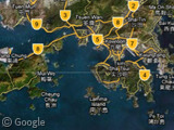
Hong Kong is one of those places that is known for its skyline, its unique topography—and for being the most prominent example of a colony handed back to its government. If you've never been there (as I haven't), it's hard to get a sense of Hong Kong's geography just from looking at the map (Google's labels aren't much help either):
There is no sense of cohesion between the islands, and the central business district is hard to identify (compared to say, Paris or even Chicago), and unless you are looking at a topographical map, you can't see where hills and mountains dictate the landscape.
This is a situation where Street View is invaluable. With just a few minutes of clicking around, you can start to see that the harbour in the middle of Hong Kong is like a playing field. On one side you have the "stands" of Hong Kong Island facing the opposing "stands" of Kowloon. All the other bits and pieces are the New Territories.
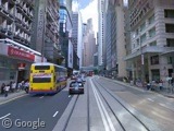
Once we drop in to the Hong Kong Island side and pan up, it becomes apparent that, besides skyscrapers, the topography of the island is dominated by Victoria Peak.
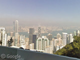
Looking across the harbour to Kowloon shows that the skyscrapers there don't appear to be as impressive as we'd expect from Hong Kong.
Which means that the small strip of urban density along the north side of Hong Kong Island is the central part of the city, and includes the dense urban district just called "Central".
My first thought is that we need to get up to Victoria Peak and take a look around the whole harbour. It's rather hard to do that from the Street View car as the vegetation is quite thick, and the most scenic spots are meant to be accessed on foot rather than by car. However, we can sneak some good peeks between the trees.
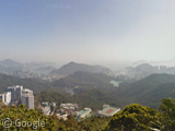
Here's the pretty spectacular view looking south, toward the South China Sea.
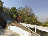
Victoria Peak is 552 metres high (1811 feet) and accessible via roadway and tramway. Because of the stunning views it offers along the way, the Peak Tram is a major tourist attraction. However, there doesn't appear to be a great shot of if it in action from the road.
But we can see an old tram car hanging out at the top of the peak near the shopping mall up there (the Peak Galleria).
Before the Peak Tram opened in 1888, wealthy residents would take the only form of public transportation available: sedan chairs carried by coolies.
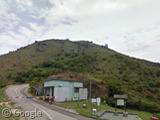
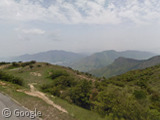
The highest peak in Hong Kong is not Victoria Peak, though. It's Tai Mo Shan, just north of Kowloon with an altitude of 957 metres (3140 feet). We can't get all the way to the top of Tai Mo Shan on Street View, but where the car does get to provides a pretty great view.
We've been on the road to the the top of peaks and taken a brief look at the skyline of Hong Kong, but stay tuned for more landmarks when we get down on the streets of Hong Kong and Kowloon in part 2 - coming soon!
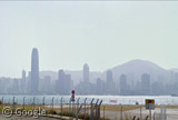
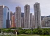
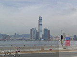



The skyscrapers in Kowloon were limited in height for most of Hong Kong’s history when the old airport at Kai Tak was in operation.
Now the airport has moved out to Lantau Island, the height restriction has been lifted. Most of the land in Kowloon still has the lower height buildings.
Hi, as a HK native, glad to have my city being introduced.
View Larger Map
this is one of most famous view @ night when all the shops sign on.
Very cool. Thanks for the links!
this is about the skyline you mentioned
a view from TST star ferry pier
View Placemark,,0,-4.16
Yemen Wayne Dimensions google lve